


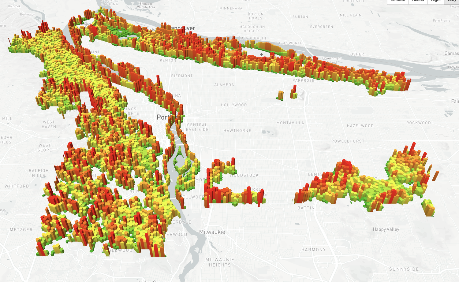
Combining asset management with stormwater models to provide a living view of infrastructure condition, capacity and risk.

Surprisingly, more than one might imagine. For one thing, they are both working with The Gartrell Group… and on the same project!
As D.T. Max explores in the New Yorker article “Green is Good,” The Nature Conservancy (TNC) is in the process of adopting a new approach to nudge commercial interests to adopt greener management and operational strategies.
We are very excited to participate in this historic project and to build the software tools described in Max’s article. The tablet-based solution will offer an array of cool capabilities Dow staff may use for identifying, delineating, and monitoring the natural resource “assets” and ecosystem services present on their properties. They will also be able to perform modeling of alternative land uses to assess the impacts of different management strategies.
Designing and developing this solution is bringing together many of the tools and areas of expertise that have been called for in our recent projects.
 The solution will primarily be used by people working in the field, so it will be aimed at mobile users. The first iteration of the tool will be built on iOS for use on iPads.
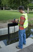
Field work usually involves being in remote areas with little-to-no connectivity. This solution, like others that we’ve worked on recently, will allow users to make edits while in the field. Those edits will be loaded onto the cloud as soon as the device is connected to either a cell connection or Wi-Fi.
The data will live in a secure, hosted environment that will ensure that everyone is always working with the mot recent information.
Like many of our recent projects that involve mobile users going out into the field, this solution will include a web-based management tool. This tool allows managers to create projects for field workers. These projects include maps and data that are then downloaded to the field worker’s iPad so that they have the most recent data to work with.
A key element to this project is to quantify the impact of different resource management strategies on the ecosystems within which Dow properties are involved. We will be working closely with stakeholders from both Dow and TNC as well as scientists from Ecometrix Solutions Group to develop these tools in the form of data processing models that measure the impacts of different land uses and activities.
This is an exciting collaboration - one that we’d have had a hard time believing could exist twenty years ago. We feel that it is part of a significant shift in the economics of environmentalism and capitalism, one focused on bringing more green to the bottom line.

One recent integration project we performed was for Dawson Geophysical, who had implemented SharePoint as a web portal for both internal staff and customers. Dawson commissioned a mapping system with which to expose data and exploration of information related to thousands of projects being completed for many customers. The delivered application leverages the same security model used for Dawson’s SharePoint portal, allowing approved classes of users to gain access to appropriate project data and capabilities through a single sign in process. Data views, lists, and libraries are also integrated into the Silverlight-based mapping system through affiliation with user classes and related project associations.
The steadily growing popularity of SharePoint has put the question of how best to go about integrating GIS with a SharePoint implementation at the top of many customers minds. While some consultants claim to have excellent solutio
ns in this space, our experience has been that well-conceived integrations can be fairly specific to a customer’s deployment of SharePoint, and that few of the integration solutions are as mature as their marketing suggests.
The solution is now in production use, supporting a variety of en d user needs including the tracking of right of way/right of entry status and geotechnical findings for particular project areas and sites within project areas.