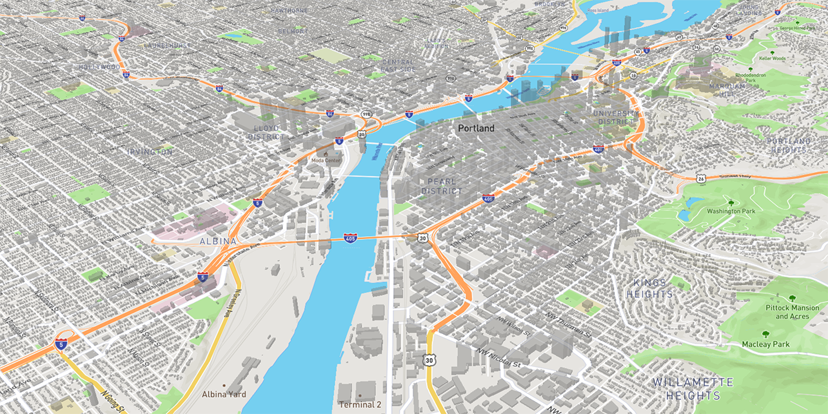
What are vector tiles?
Vector tiles are packets of geographic data, packaged into pre-defined roughly-square shaped “tiles” for transfer over the web. As with the widely used raster tiled web maps, map data is requested by a client as a set of “tiles” corresponding to square areas of land of a pre-defined size and location. Unlike raster tiled web maps, however, the server returns vector map data, which has been clipped to the boundaries of each tile, instead of a pre-rendered map image.
Why should one use vector tiles?
Compared to an un-tiled vector map, the data transfer is reduced because only data within the current view, and at the current extent needs to be transferred. Vector tiles are also faster to download than a tiled raster map, as vector data is typically much smaller than a rendered bitmap.
Additionally, with a tool such as Mapbox GL JS, styling can be applied later in the process, or even in the browser itself, allowing much greater flexibility in how data is presented. It is also easy to provide interactivity with map features, as their vector representation already exists within the client.

How do we use them?
Our crack team of developers has deployed a vector tile server that allows us to serve mbtiles raster files, mbtiles vector files, and ESRI bundled cache files. At this point, we are using it for most of our client-hosted applications. It’s a faster solution than anything we’ve used in the past, and it allows our dev team to create tools and functions in our JS-based Map Viewer that take advantage of the flexibility of the tiles.
We like to share
We submitted the code to GitHub for anyone to deploy. At the core of the MBTiles server are dual instances of a node.js script that has been customized and offered to the public. Everything windows users need to get this up and running is included in the repository. The mbtiles server, the .NET reverse proxy, and the service creation scripts.
Once you’ve installed the MBTiles server, starting a web service is as simple as copying either raster or vector mbtiles files into the mbtiles cache directory. Setting up an ESRI bundled cache service is just as simple; copy the arcgis server cache directory to your mbtiles cache directory and you’re done!
Let us know what you think, or if you have any questions!
Links
The Gartrell Group MBTiles server
Script to install windows services
The script that we forked in order to create the windows services script


