Transforming the Port of Portland’s GIS Through a Resilient, Cloud‑Driven ArcGIS Enterprise Deployment
Building on earlier strategic planning engagements with the Port of Portland’s GIS and IT teams—where the Gartrell Group assessed the Port’s geospatial technology landscape and helped mature its GIS governance—the Port and Gartrell teams are now well into a major renovation of the organization’s GIS platform.
This modernization effort is centered on deploying a cloud‑based ArcGIS Enterprise environment engineered for high availability (HA) and disaster recovery (DR). The new platform is taking shape as a resilient, scalable foundation designed to support Port staff and partners around the clock, across a wide spectrum of operational disciplines including aviation, environmental management, public safety, asset management, infrastructure programs, and more.

Renovated Portland International Airport
A significant portion of the current work is focused on architecting and implementing best‑practice integrations that will allow the GIS platform to interoperate seamlessly with the Port’s soon‑to‑launch new ERP system. This integration is expected to strengthen enterprise data flows and expand the role of location intelligence in day‑to‑day operations and long‑term planning.
Members of Gartrell’s Cloud Team are excited to be supporting the Port through this formidable and forward‑looking modernization effort. As the platform evolves, it is already opening the door to a more unified, resilient, and capability‑rich geospatial environment—positioning the Port of Portland for significant advancements in enterprise GIS and data‑driven decision‑making.
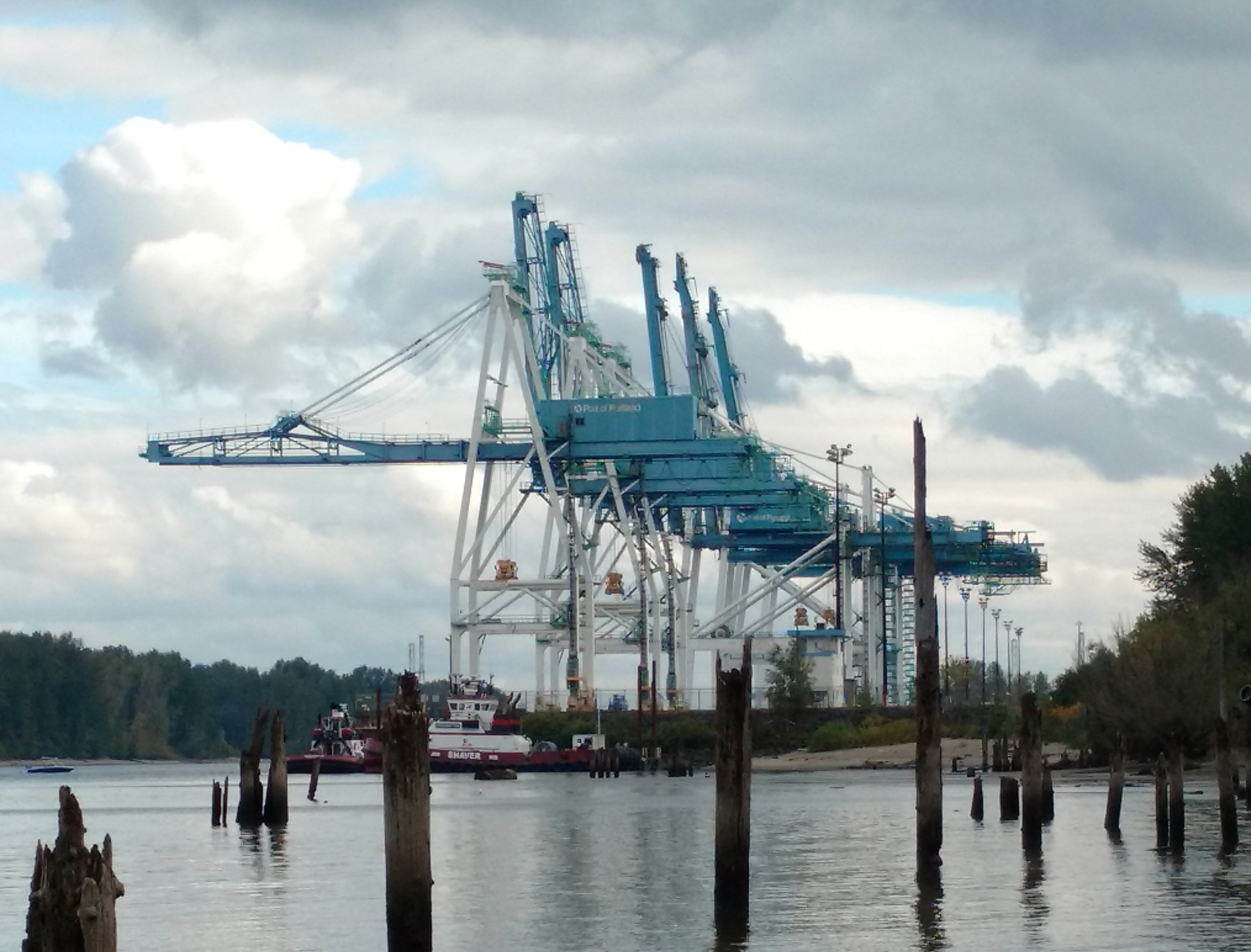
Marine Terminal Port of Portland