We’re diving into 2023 with another of our Team Bio blog posts. This time, we’re going to get a jump on celebrating this person’s third anniversary with The Gartrell Group! Three years!
Hello and welcome! Tell us your name and what you do.
I’m Ryan Dalton, and I am a Geospatial Developer.
Ryan, your mom is going to read this. What do you actually do?
I mostly do data engineering (still a confused look on their face), which means I download, massage, combine, and eventually configure geospatial (map) data to turn it into something that looks and behaves the way we want to present it to our users. A good example is the WFCA project, where we download fire perimeters every hour, but only want to show relevant changes to the user. We developed new methods to detect changes, return only the relevant updates, and blended the new perimeters with old perimeters to help demonstrate fire progression over the past few days.
Well, that’s an excellent explanation. Thanks! So, as I said, your work anniversary is coming up. When did you start with The Gartrell Group?
February 3rd, 2020!
Congratulations! What’s your favorite part of your job?
I enjoy developing processes that can automate recurring workflows. Then we can let the computer do the hard work of processing data, usually in a hands-off approach, and move on to another interesting task. We also have a really smart group of colleagues that are always ready and able to help solve a challenging problem together.
Do you have any projects that you’re particularly fond of?
WFCA: Designing the ETL to extract data from a variety of cloud data sources and building the database for high performance. In particular, we designed the methodology to display fire perimeter growth, as no other wildfire maps show it in this way.
You are one of TGG’s fully-remote staff. Where do you live?
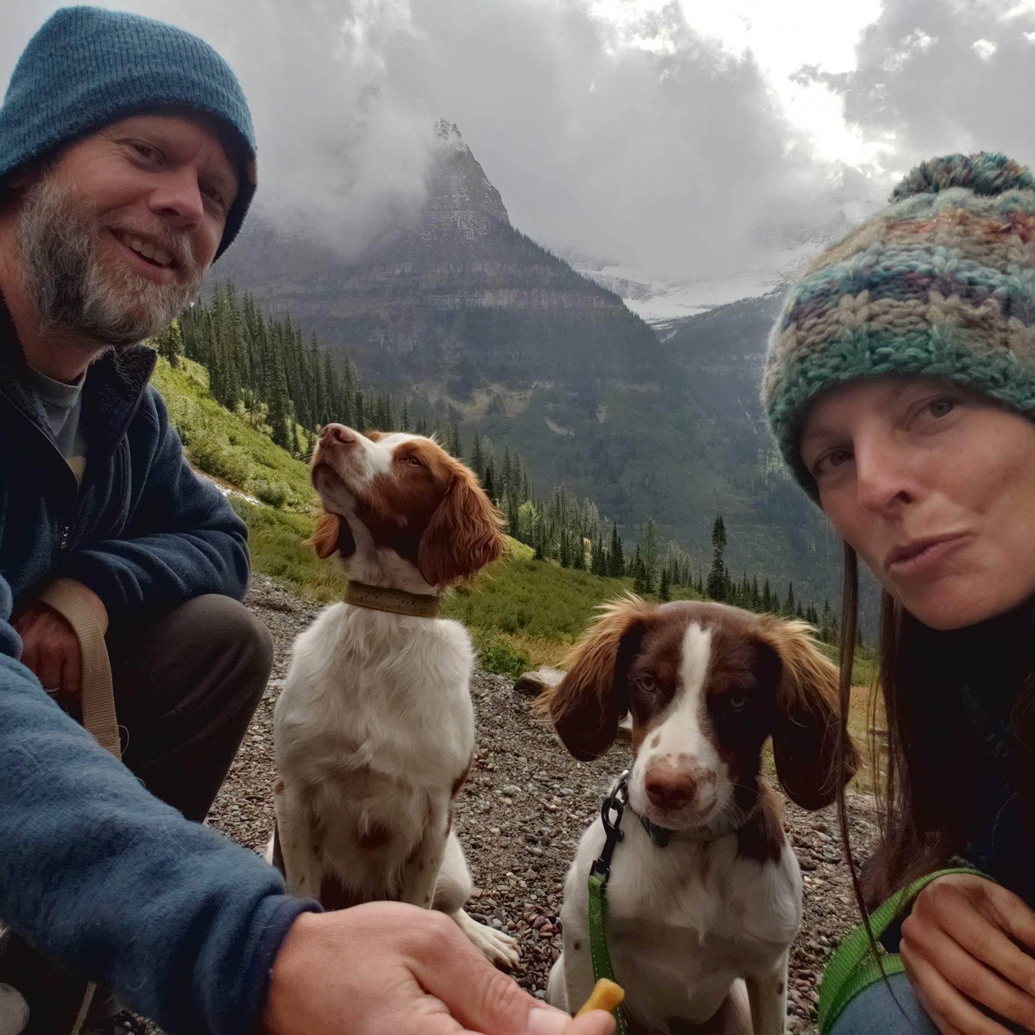
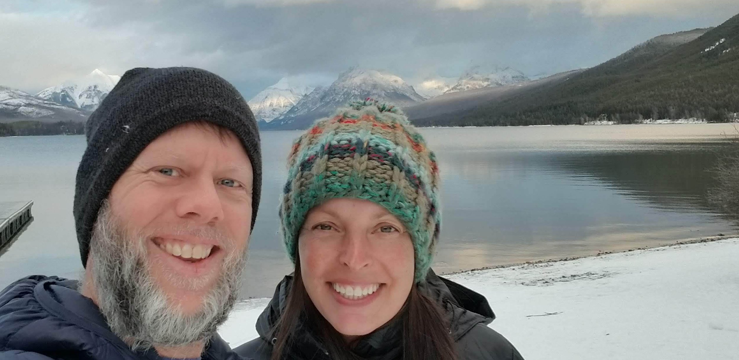
I live in NW Montana, about 45 minutes from Glacier National Park, and 15 minutes from Whitefish Mountain Resort. I've been part of the GIS community in the Pacific NW since the mid-90s and worked for the ESRI NW office from 2002-2006. I've used GIS analysis in diverse ways, supporting land management, timber harvesting, 911 emergency response, and retail site location for a Fortune 100 company.
Wow. You’ve been a part of the PNW GIS Community for a while! Did you grow up in the Pacific Northwest?
Post Falls, Idaho.
That’s up there! Growing up in Northern Idaho and living in Montana makes me think you’re into outdoorsy pursuits.
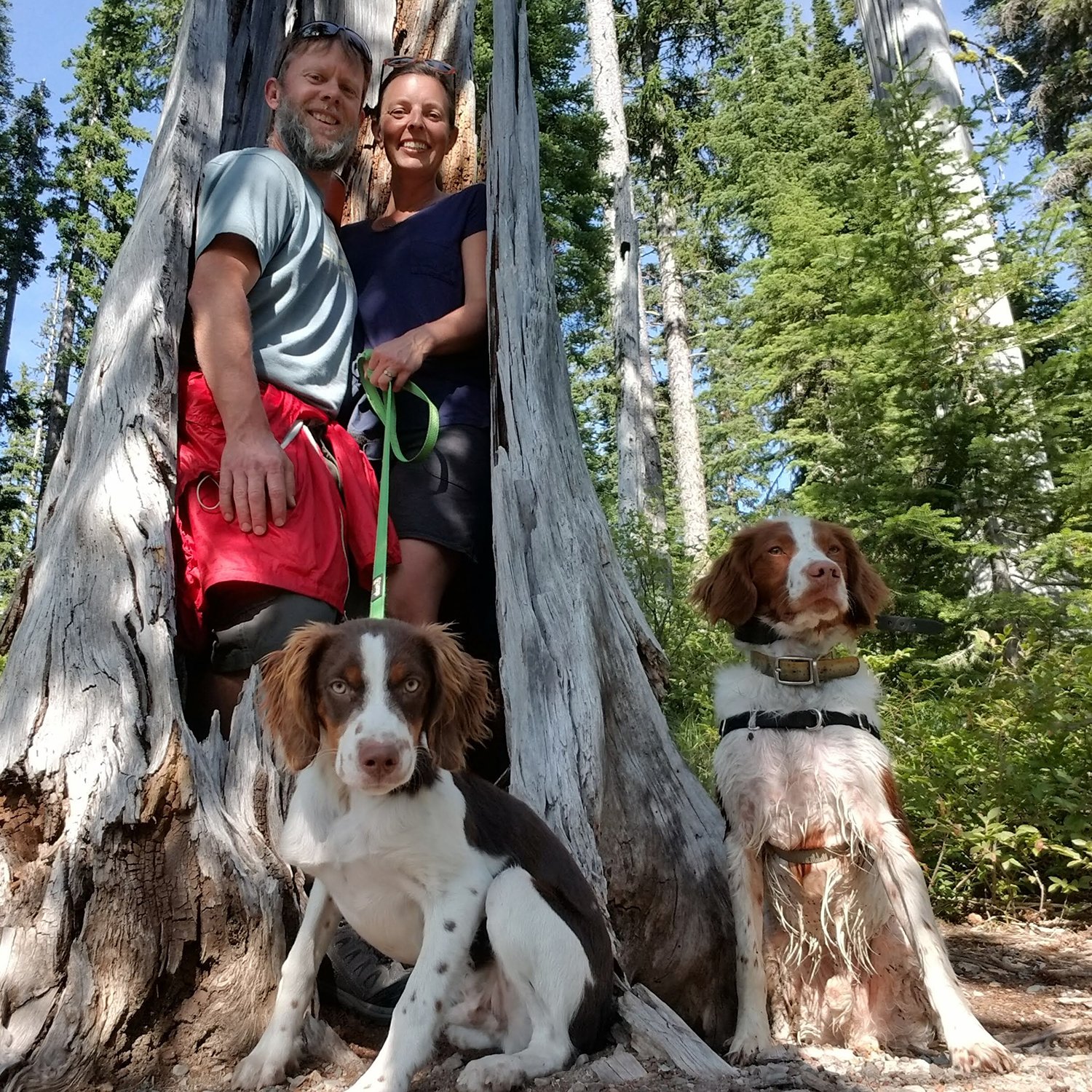
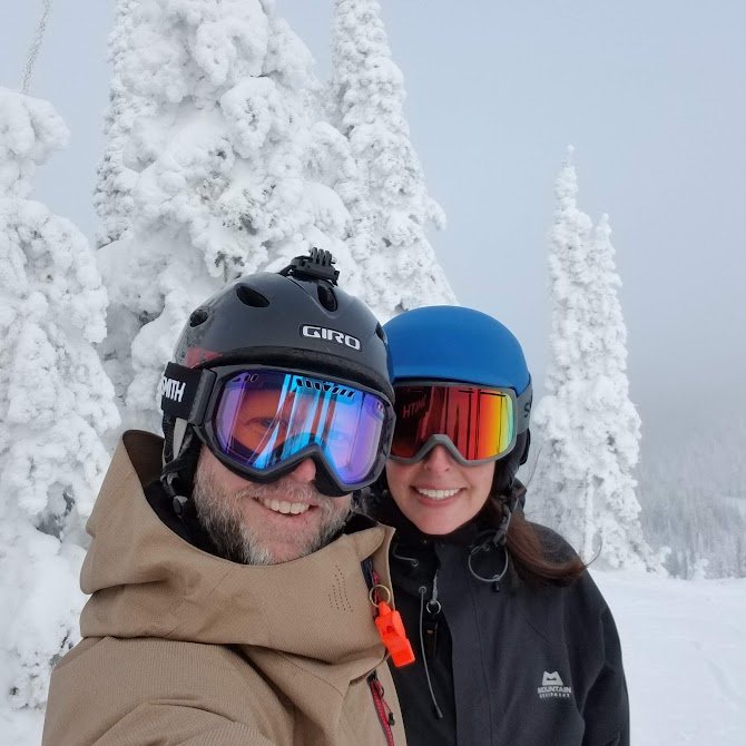
I grew up in the outdoors, so most of my time away from work is in the outdoors. My wife and I enjoy camping, fishing, hiking, XC skiing, snowboarding, mountain biking, etc. I got into upland bird hunting (pheasant) a few years ago and am looking forward to getting back into it next year.
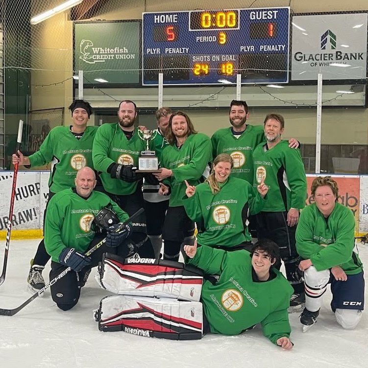
When I asked you to share photos, you shared one of you on a hockey team. What’s up with that?
I've played for a few years, I'm not very good, but I do my best and have fun doing it. Our team won the league championship that season.
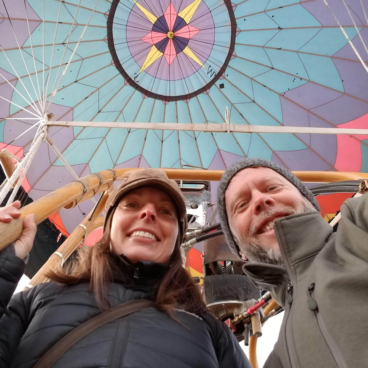
Well, that’s awesome. Do you like to travel?
My wife, Jane, and I usually travel somewhere we can take our dogs with us. So that usually means driving and camping, and we often try to include a visit to some hot springs. We have a nice popup camper that fits in the bed of our truck, so it’s usually a pretty cozy trip.
We've made great trips down into southern Utah, Sedona, the Oregon Coast, and Northern ID. But Montana is such a big state; we’re still exploring many areas that are less than a day’s drive away.
Did I hear you have a side hustle?
Before coming to TGG, I started a personal cartography business called OffTheGridMaps where I design outdoor recreation maps for areas all over Montana. It’s part data discovery (finding original source data from Federal, State, and local governments), part data management (SQL database), and part cartography (giving the map my own unique "style"). I was recently featured in our local newspaper!
Thanks so much, Ryan!